Sweden.- Raabergh-Mannerskantz (Carl) Collection of 24 original manuscript maps, and office copies …
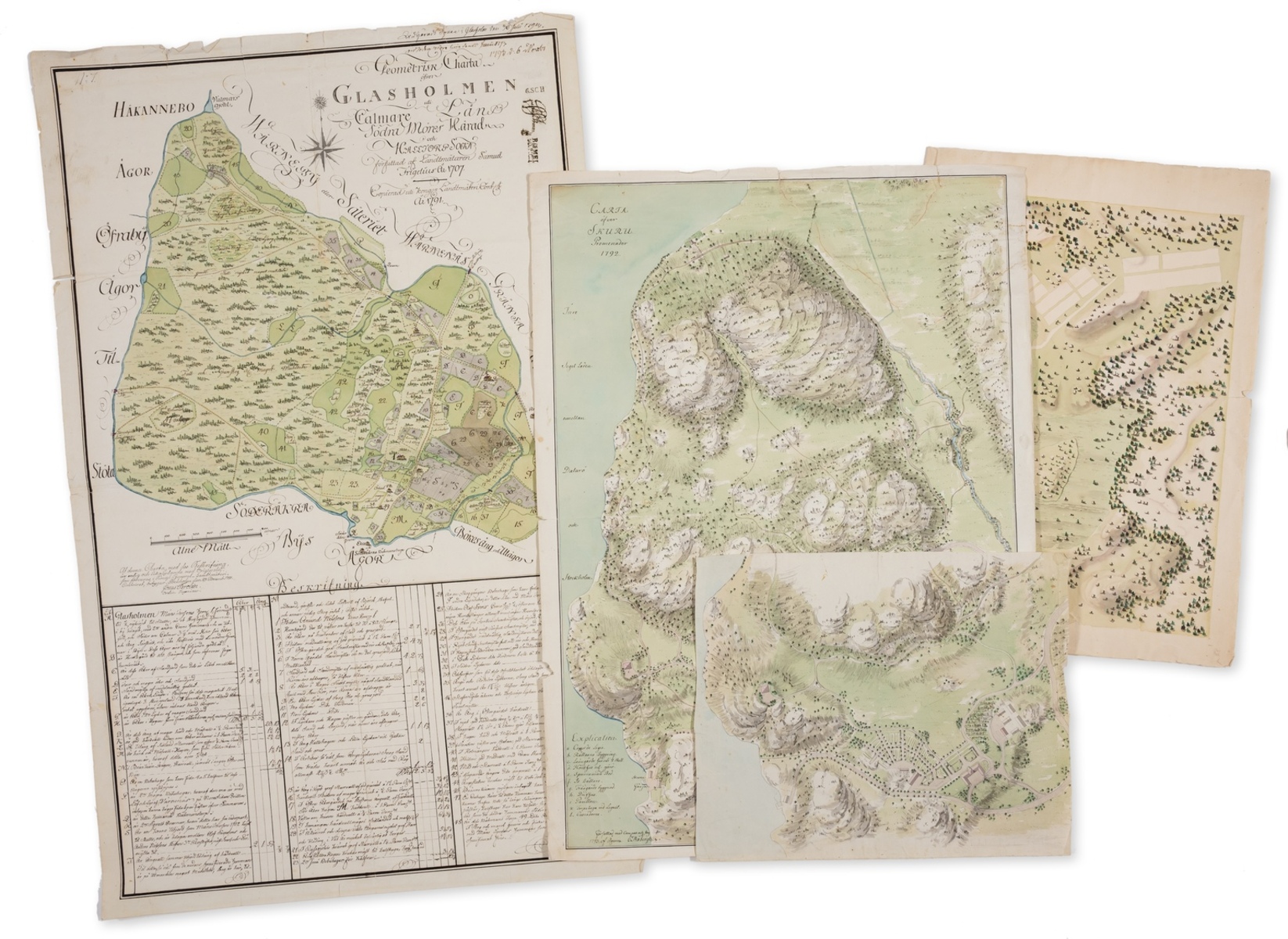
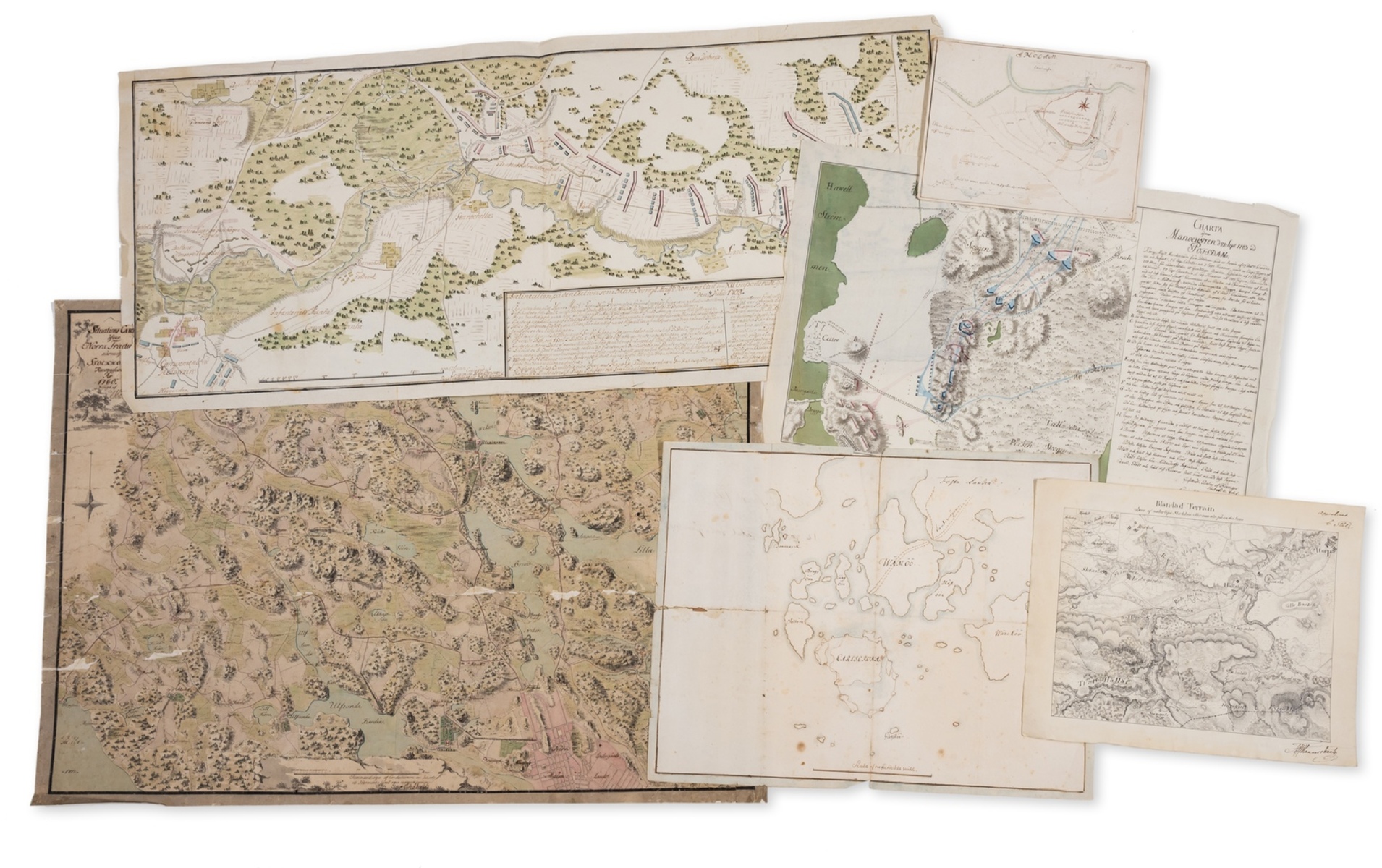
Sweden.- Råbergh-Mannerskantz (Carl, 1749-1830) and others. Collection of 24 original manuscript maps, and office copies of manuscript maps, with many including military battle plans, including: 8 manuscript maps and plans in Carl Råbergh's hand, with 3 signed and dated; 3 detailed maps and battle plans in the hand of Erasmus Heerman Rustmastar[?], two signed and dated; a large detailed manuscript map of 'Glasholmen' by the Land Surveyor to King Gustav III, dated 1791 but after another map from 1707; and other maps and plans by various anonymous Swedish cartographers, pen and inks, watercolours, some pencil under-drawing, on various 18th century papers and later, various sizes from 310 x 470 mm (12 1/4 x 18 1/2 in) to 910 x 580 mm (35 3/4 x 22 3/4 in), numerous nicks and tears, old folds and handling creases, some surface dirt and browning, all unframed, [mainly late 18th century, or slightly later] Provenance: Some with Carl Råbergh-Mannerskantz (1747-1817) Carl Axel Mannerskantz (1809-1888) Värnanäs Manor, Hallstorps socken, Småland, Sweden; by descent. ⁂ There are records for one of the draughtsman featured in the present lot, that of Major Carl Råbergh (1747-1817), who was known to have worked as a Fortification Officer in the Swedish military, but resigned in 1790 following his purchase of the Värnanäs estate in Halltorp, Kalm, in 1789. Both his father and his son, Carl Axel Mannerskantz (1809-1888), were at points involved with Swedish military's Fortifications Office. It has also been recorded that Råbergh undertook a Grand Tour in 1783 with another Swedish officer, Mikael Hisinger (1758-1829); the tour was partly funded by a grant given to Råbergh by the Swedish Army. The Vasa Architectural Collection, Sweden, hold four original maps and plans by Carl Råbergh that closely conform to many examples within the present group [see museum acc. no. V399, V405, V406, V420].
- The cost is converted to USD at the rate of 1 GBP = 1.2658 USD on 2023-11-30.
-
Sign in to view
Lot number
-
Sign in to view
Estimate
-
2023-11-30
Sale date
-
Sign in to view
Realised price
-
Sign in to view
Opening price
-
Sign in to view
House name
-
Sign in to view
Auction sale name
-
Sign in to view
Country
-
Categories
Sign in to view -
Tags
Sign in to view